

Directions
The entrance to the forest is off Main Road.
Take the A33 (Basingstoke Road), northbound from Jnct 9 of the M3 for 4.5 miles or Southbound from Jnct 7 of the M3 for 8.7 miles . Turn onto Main Road at w3w stiff.bravest.recapture, signposted Northington and The Candovers.
Follow Main Road for 1 mile turning left into the forest, shortly after passing under the M3.
Parking
Parking will be Forest Tracks, you will be asked to turn round before parking.
The maximum distance from parking to assembly will be around 600m.
Map/Areas
1:10,000 SRA4 Portrait ISOM2017-2 Map, 5m contours, recently updated for this event.
Some good runnable forest (managed by Forestry England) with many depressions of varying sizes. There is only gradual climb in the area.
No rootstocks or hides are mapped.
Only significant holly bushes have been mapped.
The area is used by cyclists, dog walkers and horse riders. Please be aware and courteous.
SCOA League Eligibility
Entrants must be 2026 members of BOF (with SCOA as their region) on the day of the event to get SCOA League points. They can join BOF online up to 23:59 on the day of the competition at join here to qualify for the SCOA League.
This requirement is specified in the rules on the SCOA website.
Courses
We are positioning the start to enable access to the best parts of the forest from the outset.
Beginners are welcome to try the courses, please ask for assistance when you arrive. The courses rank from easy to hard, just bring a compass (one can be lent if you do not have one) and give it a go. No problem if you want to go round with other people.
| Course | Controls | Distance (km) | Climb (m) | Suggested Classes |
|---|---|---|---|---|
| Brown | 27 | 9.4 | 60 | M21, M35, M40 |
| Blue | 22 | 7.7 | 50 | M16, M18, M20, M45, M50, M55, M60, W21, W35, W40 |
| Green | 17 | 5.2 | 35 | M65, M70, W16, W18, W20, W45, W50, W55, W60 |
| Short Green | 13 | 3.5 | 25 | M75, M80, M85, M90, W65, W70 |
| Light Green | 17 | 4.5 | 35 | M14, W14 |
| Orange | 10 | 3.3 | 25 | M12, W12 |
| Yellow | 10 | 2.5 | 20 | M10, W10 |
| White | 9 | 2.1 | 10 | M10, W10 Starters |
Start/Finish
The start is 1.3km walk along the main forest track from assembly (Allow 15 mins). The finish is 650m from assembly along the main forest track.
EMIT eCards will be used on all courses. Everyone must report promptly to Download.
Please provide your own water.
Registration
10:00 to 12:00 for Hired eCard collection and Enquiries
EOD is possible subject to map availability..
Starts
10:30 to 12:30.
Control descriptions will be available in the start lanes.
Courses close
Promptly at 14:30 please. You must report to download before you leave the event.
Facilities
Toilets.
There are several pubs in the area for food.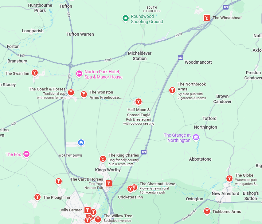
Conduct
Please make yourself aware of and abide by the British Orienteering Participant Code of Conduct.
Dogs
Dogs are allowed, but under strict control and on a lead at all times.
Planners Notes
Most of the forest we are using has good runnability and at this time of year there is, also, good visibility.
The ground only gently slopes from uphill from South to North, the only climb is from some of the large depressions in the area.
OOB
Forest England have put some restrictions in place to protect nesting birds and Dormice, please avoid the areas marked as out-of-bounds.
There is, also, a strip of land that does not belong to Forest England and we do have permission to go in.
Please honour all OOB areas, otherwise we will jeopardise use of the area.
Risk
Orienteering is an adventure sport; you are responsible for your own safety at the event and must not do anything that puts yourself or others at unnecessary risk. Please remember that COVID has not gone away, please respect those that want to be socially distanced.
Officials
Organiser: Charles Gook (BADO)
Planner: Mike Frizzell (BADO)
Controller: Bernie Fowler (BAOC)